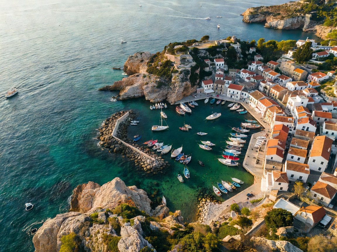
01 / GEOGRAPHY
Adriatic Port Regions
Compare northern, central, eastern and southern coastal settings. Map access, terminal position and hinterland links.
CoastlineHinterlandRegional flows
Open region guide ADRIATIC PORT FLOW INDEX FIELD GUIDE / 01
A working reference for port services, cargo movement, terminal coordination, vessel support and inland connections across the Adriatic.
Port geography
Terminal interfaces
Cargo pathways
Inland continuity
INDEX / SUBJECT FILES
Five connected views of the Adriatic port chain. Use them to frame a plan, then confirm local requirements with the responsible operator.
01 / GEOGRAPHY
Compare northern, central, eastern and southern coastal settings. Map access, terminal position and hinterland links.
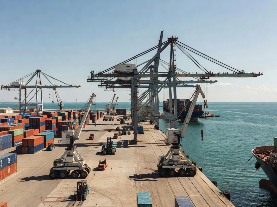
02 / TERMINAL
Follow reception, handling, gate, storage and documentation interfaces through a terminal workflow.
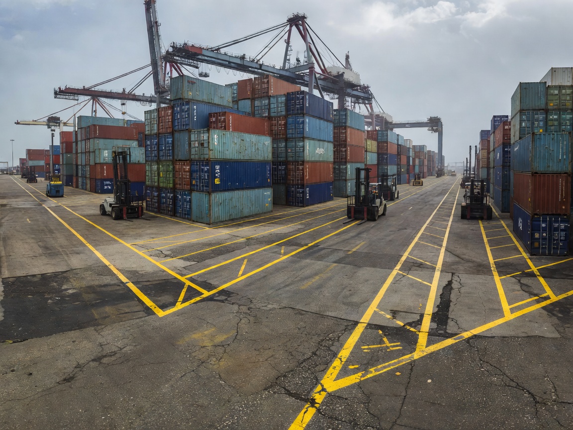
03 / CARGO
Match cargo properties with handling method, temporary storage, transfer sequence and records.
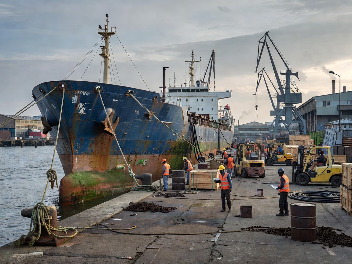
04 / VESSEL
Organise port-call inputs, operational communication and turnaround preparation without assuming live berth data.
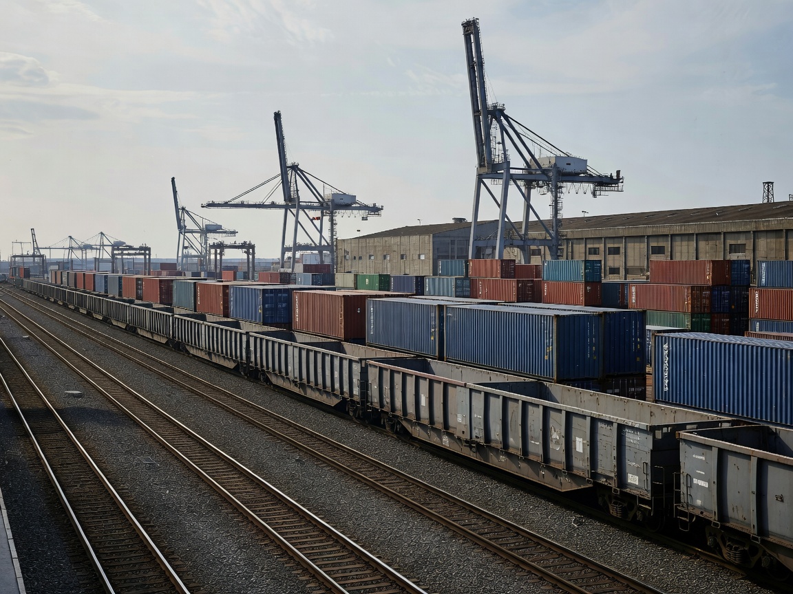
05 / CONNECTIONS
Plan road, rail, warehouse and distribution interfaces beyond the quay. Availability depends on location and date.
PROCESS / PORT-TO-HINTERLAND
A planning sequence. Actual order, equipment and responsibility vary by cargo, terminal and service contract.
Cargo enters the port flow with identifying records and an agreed handover point.
Terminal teams coordinate a suitable lift, move or transfer interface.
Cargo occupies an appropriate area when timing or onward transport requires it.
Records and custody move with the cargo to the next transport stage.
Road, rail, warehouse or distribution networks continue the journey.
COORDINATION DESK / FICTIONAL SITE
Send an enquiry with cargo type, location, timing window and required interface.